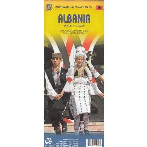
Albania is the latest addition to ITMB's European map series. Lan and I visited the country last October to ground-truth our artwork before publishing and were pleasantly surprised to find good quality roads, friendly people, attractive scenery, and a quiet 'get-ahead' attitude.
Although still underdeveloped, tourism in Albania is amongst the fastest growing in Europe. With its Greek, Roman and Ottoman architecture and its natural beauty, including Mediterranean beaches and the Albanian Alps, this is not at all surprising.
The country had a reputation during the Cold War of being rather secretive and unfriendly, but it is the only formerly-communist-run country to have its totalitarian government hold a referendum on future governing systems (in 1992) and respected the will of the people as expressed and arranged for democratic elections.
The country has being improving its infrastructure ever since and hopes to apply for EU membership this year. Albania has been an independent country for 100 years - not always wisely governed, but independent nonetheless!
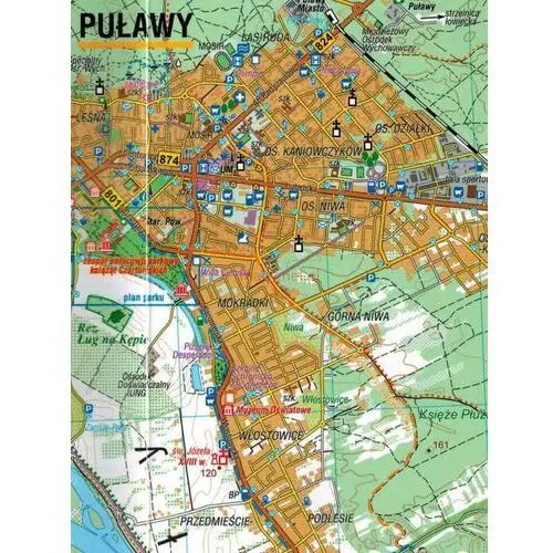
The cities of Berat, Durres, Gjirokaster, Korce, Shkoder, Tirane (the capital) and Vlore are included as insets for good measure. This is a double-sided and very detailed map of the country at a very easy-to-use 1:210,000 scale.
Legend Includes: Roads by classification, International Airports, Domestic Airports, Ports, Ruins Historic/Archeological, Hot Springs, Forts, Lighthouses, National Parks, World Heritages, Mountain Peaks, Spot Heights, Universities, Oil Fields, Point of Interests, Beaches, Camping Sites, Churches, Viewpoints, Mosques, Passes, Caves, Border Crossings, Mines, Hospitals, and much more.
Powyższy opis pochodzi od wydawcy.
